Tokyo Skyline Masking Tape
Tokyo's skyline as 1.2m of masking tape.
A washi masking tape that captures the Tokyo skyline along the Yamanote train line loop as a continuous 1.2-meter panoramic band, created using open data from Project PLATEAU (Japan's national 3D city model).
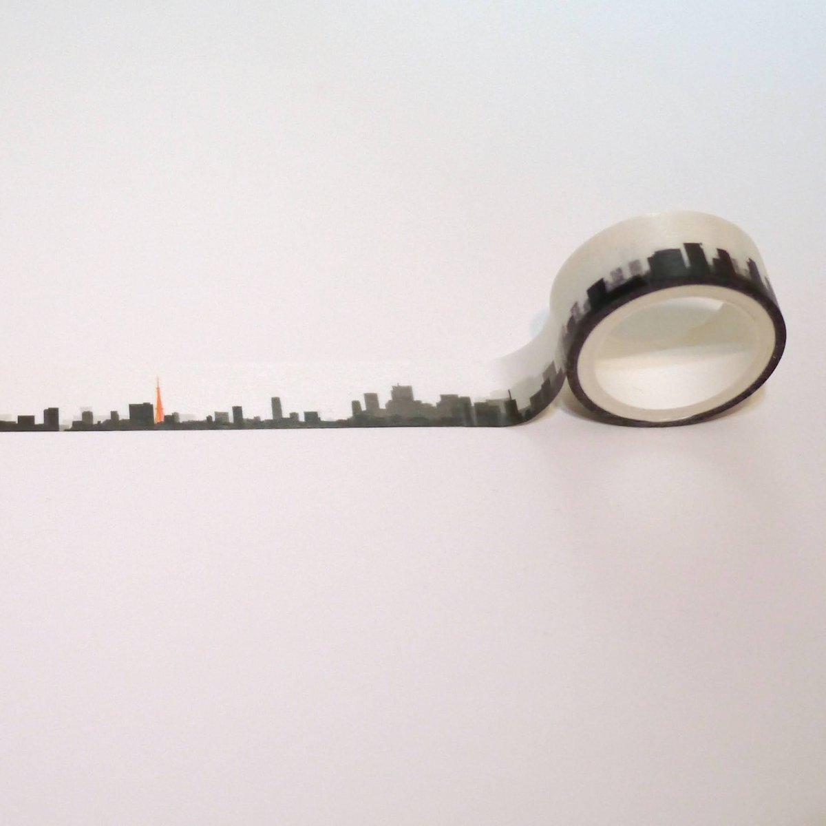
A 1.2-Meter Circuit of Tokyo's Silhouette
Pulling out the tape gradually reveals familiar contours—Tokyo Tower, the Rainbow Bridge, and dense skyscraper clusters—looping back to the starting view after exactly 1.2 meters.
- Sourced from Real 3D Data: Rather than a stylized illustration, the silhouette is generated directly from PLATEAU's geometric 3D urban data, preserving the actual heights and spatial rhythms of the cityscape.
- Spotting Familiar Milestones: Glancing across the dark horizon lets you pick out landmarks and train stops you recognize along the way.
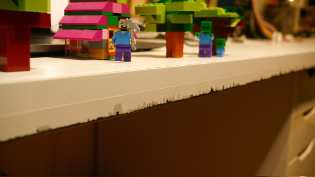
It is wonderful that massive public open data—originally built for urban planning and disaster modeling—can also empower personal, grassroots creations like everyday stationery.